southend to machrihanish
Machrihanish is a short distance north of the tip of the Mull of Kintyre, which faces out towards Northern Ireland and the Atlantic. The main sandy beach of Machrihanish Bay runs three miles north to Westport, providing opportunities for surfing. The Largiebaan nature reserve lies to the south.
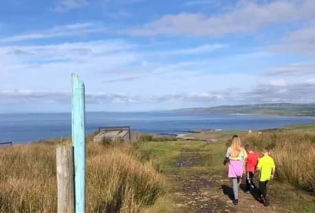
Distance: 16 miles. Allow 7–9 hours. Suitable for walking and running. This route is not suitable for cyclists. Cyclists should check OS map for alternative or adjoining tracks. A long walk with exposed boggy moorland, wildlife and coastal scenery. No shops, accommodation in Machrihanish. Southend: Map | Kintyre Map | Walk and Ride leaflet